Sale!
Read More
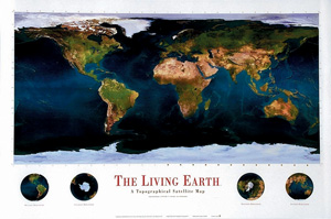
THE LIVING EARTH
A Topographical Satellite Map
Satellite-image map
Connect with a representative to create a custom curriculum for your district.
A razor-sharp satellite image of the planet, so clear you can even see ridges on the seafloor, includes national boundaries discreetly superimposed as faint gold lines.
Small insets show the planet’s four hemispheres: eastern, western, southern, and northern. Poster-style maps shipped rolled.
| Size | |
|---|---|
| Publisher | Spaceshots |
| Grade | All ages |

