CONNECTICUT DESK MAP
30 state desk maps
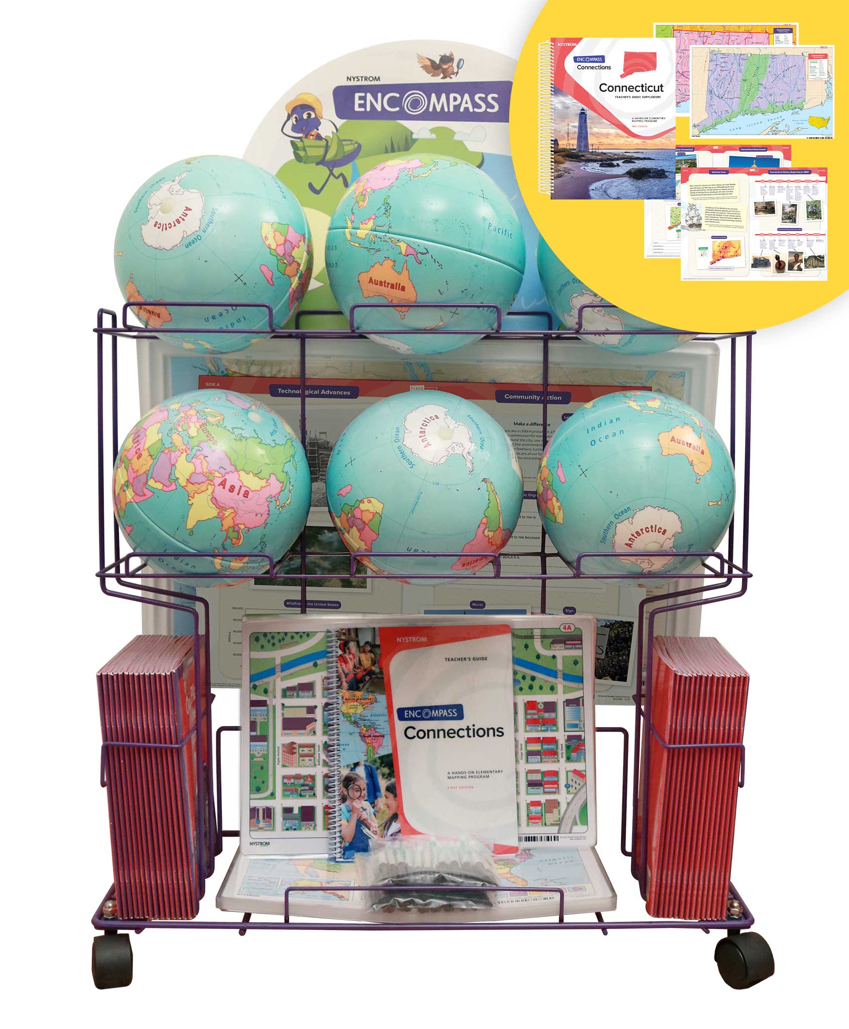
Connecticut: Compact, Detailed, and Ready to Explore
The Connecticut Desk Map offers students a comprehensive view of their state with vibrant color, clear labeling, and engaging visuals. One side features a detailed political map with counties, cities, rivers, highways, and major landmarks. The reverse side offers a map designed to reinforce geography skills in a variety of ways.
Color-coded elevation and shaded relief give dimension to the state’s physical features, while thematic insets cover everything from ancestry and economic activity to land use and precipitation. Laminated for durability and markable with wet-erase markers, this double-sided map is designed for repeated, hands-on classroom use.
Each classroom set of 30 maps includes a 16-page teacher’s guide with reproducible student handouts to extend and support instruction.
Key Features: