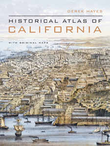
HISTORICAL ATLAS OF CALIFORNIA
Hardback
How did the first Californians see their world? How did California look to Spaniards, Russians, Mexicans, and ’49ers? To railroad surveyors? To early geologists and farmers? What can maps tell us about the rise of California’s cities? About our water resources, power grids, and freeways? Extended captions elucidate the stories and personalities behind the maps, and a concise, engaging narrative puts them into larger context. Teacher resource (and a show-and-tell knockout).
“The Atlas is a record of ideas, of real places and enterprises, and of dreams, some of which never got beyond the drawing board. But they’re almost as essential as what came to be, illustrations of what earlier Californians made of the promise of this place.”—Sacramento Bee
“Another installment in Vancouver map collector Hayes’ incomparable series of atlases…. A beautiful book.”—Seattle Times
“Fascinating … The maps are so rich in stories.”—San Francisco Chronicle
Quantities are limited.
| Copyright | 2007 |
|---|---|
| Size | 9" x 12" |
| Publisher | University of California |
| Pages | 250 |
| Grade | 4 and up |
| ISBN | 9780520252585 |

