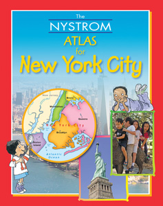
NEW YORK DESK MAP
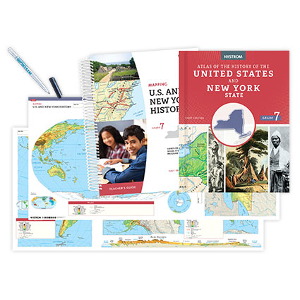
Select your Materials
On the A side, the main map uses color to show elevation and uses shaded relief to render details of mountainous terrain. Dark lines set county boundaries. City population ranges are indicated by font size, and transportation information includes interstate and main highways, railroads, canals, ferry routes, and airports. Inset maps show major and minor tribes of the state’s American Indians in the 1600s, growing season, land use, and population, plus two locator maps (national and regional). Graphs break out economic activities and ethnic ancestry, and the state flag and state seal are also shown. The map’s B side focuses on New York City with a political map of Greater New York, a large inset of the city proper, and smaller insets showing population density and land use. Graphs break out the city’s ethnic ancestry and population by county. An 8½" x 11" teacher’s guide supplies 14 reproducible handouts including an unlabeled outline map and activity sheets (with an answer key) that address such topics as natural and cultural features, land use, transportation, New York City versus New York State, and your own county.
| Size | 17" x 22" |
|---|---|
| Publisher | Nystrom |