PENNSYLVANIA DESK MAP
30 state desk maps
Pennsylvania: An Interactive Map of the Keystone State
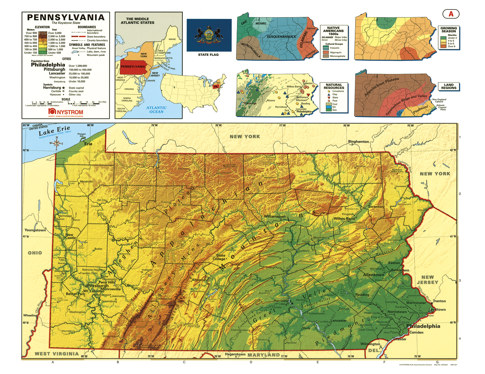
The Pennsylvania Desk Map helps students study the state’s rich geography and regional features with an easy-to-use, double-sided format. One side displays a labeled political map with cities, rivers, counties, and highways. The reverse side offers a map designed to reinforce geography skills in a variety of ways.
Color-coded elevation and shaded relief highlight Pennsylvania’s diverse landforms—from the Appalachian Plateau to the Atlantic Coastal Plain. Thematic insets provide additional insight into natural resources, land regions, growing seasons, and Indigenous groups. Laminated for durability and markable with wet-erase markers, it’s built for repeated classroom use.
Each classroom set includes 30 maps and a 16-page teacher’s guide with reproducible student handouts.
Key Features:


