
Encompass: U.S. History, Gr 5
Complete Program Components
Nystrom Atlas of Our Country’s History
This 108-page atlas focuses on the exploration of major events situated in time and place, from 1400 to the present.
Features:
Teacher’s Guide
This comprehensive guide provides detailed teaching instructions, reproducible handouts for lessons that link history and geography, and assessments.
9-inch Activity Globe
Countries are emphasized by colors distinguishing each one’s area, and all but the smallest countries are labeled. Continents and oceans are also labeled. The Equator is shown, with latitude and longitude simplified to 30-degree increments.
Place Mat
Featuring developmentally appropriate primary and secondary sources, these markable Place Mats are designed to help young learners engage with current world issues.
U.S/World Desk Map
The world map names the oceans and distinguishes the continents by color, with national boundary lines drawn but the countries unnamed. The U.S. map names the states. (11″h x 17″w)
U.S. Natural Regions Raised Relief Map
The U.S. map names the natural regions. (28 x 18 in)
Wet Erase Markers
The wide-tipped wet erase markers were designed specifically for the program to ensure longevity in the products.
This title is part of the series: Encompass: U.S. History, Gr 5
| ISBN | 9780782530735 |
|---|
 Sample pages from the guide
Related products
-
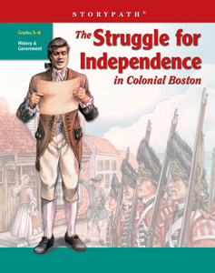
THE STRUGGLE FOR INDEPENDENCE IN COLONIAL BOSTON
$89.95 Add to cart -
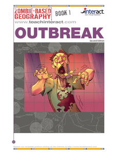
ZOMBIE-BASED GEOGRAPHY
$142.35 Add to cart -
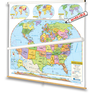
INTERMEDIATE POLITICAL MAP SERIES
$335.00 Add to cart -
Nystrom Atlas of Our Country’s History
$12.95(5 or more $11.66) Add to cart -
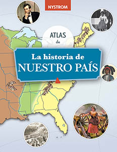
La Historia de Nuestro Pais (Our Country’s History)
$12.95(5 or more $11.66) Add to cart