


ENCOMPASS: U.S. REGIONS, GR 4
Select your Materials
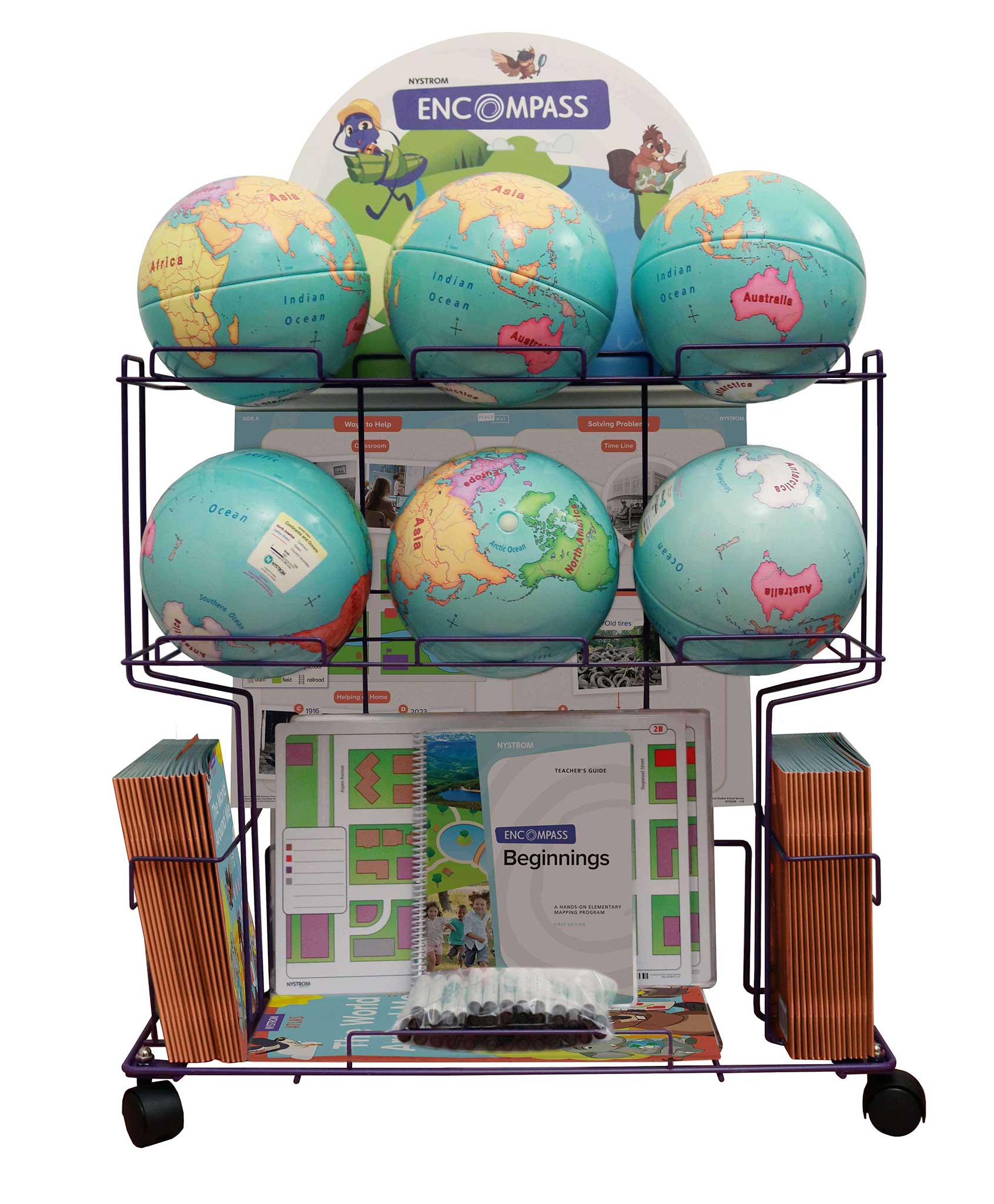
Complete Program Components
Nystrom Atlas of Our Country’s Geography
This 112-page atlas focuses on more advanced map skills and explores the regions of the United States, including environmental, geographic, and technological developments.
Features:
Teacher’s Guide
This comprehensive guide provides detailed teaching instructions, reproducible handouts for lessons that link history and geography, and assessments.
9-inch Activity Globe
Countries are emphasized by colors distinguishing each one’s area, and all but the smallest countries are labeled. Continents and oceans are also labeled. The Equator is shown, with latitude and longitude simplified to 30-degree increments.
Place Mat
Featuring developmentally appropriate primary and secondary sources, these markable Place Mats are designed to help young learners engage with current world issues.
U.S/World Desk Map
The world map names the oceans and distinguishes the continents by color, with national boundary lines drawn but the countries unnamed. The U.S. map names the states. (11″h x 17″w)
U.S. Natural Regions Raised Relief Map
The U.S. map names the natural regions. The map is measured 28 x 18 in.
Wet Erase Markers
The wide-tipped wet erase markers were designed specifically for the program to ensure longevity in the products.
Spanish Complete Program
The complete program is also available for Spanish speaking-students to help with them with problem solving and collaborating while learning social studies content and concepts and developing essential literacy skills, right alongside their English-speaking classmates.
| ISBN | 9780782541649 |
|---|
 Sample pages
Related products
-
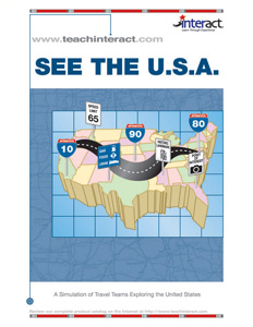
SEE THE U.S.A.
$69.95 Add to cart -

EARLY NORTHWEST COAST PEOPLE
$89.95 Add to cart -
NYSTROM ATLAS OF OUR COUNTRY’S GEOGRAPHY
$14.95 Add to cart -
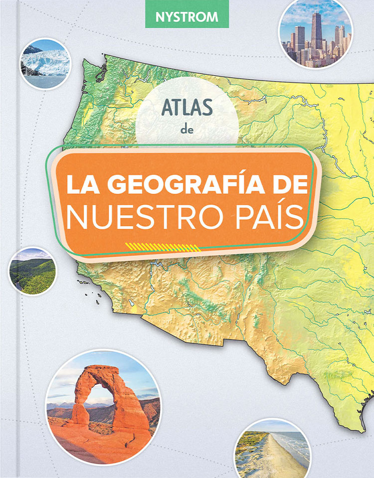
LA GEOGRAFIA DE NUESTRO PAIS (OUR COUNTRY’S GEOGRAPHY)
$14.95 Add to cart -
ENCOMPASS: REGIONS, GR 4, SPANISH
$1,295.00 Add to cart -
Encompass: Elementary Mapping Program
$1,295.00 Add to cart