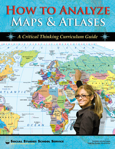
HOW TO ANALYZE MAPS AND ATLASES
Connect with a representative to create a custom curriculum for your district.
This skills-based curriculum teaches students to decode maps in order to understand the world.
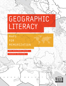
Then they reinforce their interpretive skills by making maps that encode and communicate geographic information. A PowerPoint® presentation introduces the various types of maps, as well as map symbols and conventions, before teaching students to ask geographic questions; acquire, organize, and analyze geographic information; and to synthesize and communicate geographic knowledge. The unit also includes lecture notes and reproducible activity pages, and Geographic Literacy, a set of 22″h x 14″w posters, summarizes the main guidelines for critical analysis of geographic information.
This title is part of the series: HOW TO ANALYZE MAPS AND ATLASES
| Copyright | 2008 |
|---|---|
| Publisher | Social Studies School Service |
| Grade | 6–12 |
| ISBN | 9781560043287 |
Sample slides from the PowerPoint® presentation


