
INTERMEDIATE POLITICAL MAP SERIES
Connect with a representative to create a custom curriculum for your district.
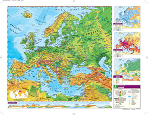
For intermediate students familiar with cartographic conventions and ready for the main details of geographic information, a United States map and a world map combine to focus on the political regions of the world by using contrasting colors to make states and countries easy to see.
Both show shaded relief, capital and major cities (with type size denoting population), and include longitude and latitude. Inset thematic maps show the world’s continents and oceans, north and south polar views, population, and wealth, and the U.S.’s population, time zones, growth through time, and a cross-section elevation profile. Other U.S. map insets show Alaska, Hawaii, and a locator map. Both maps measure 53″h x 65″w and are mounted together on one heavy-duty metal spring roller with a backboard.
See also:
This title is part of the series: INTERMEDIATE POLITICAL MAP SERIES
| Size | |
|---|---|
| Publisher | Nystrom |
| Grade | 4–5 |
| ISBN | 9780782541137 |
Related products
-

MAPS MOUNTING SYSTEM
$41.25 Add to cart -

INTERMEDIATE POLITICAL CLASS PACK
$515.00 Add to cart -

16″ INTERMEDIATE POLITICAL RAISED RELIEF GLOBE
$225.00 Add to cart -

12″ INTERMEDIATE POLITICAL RAISED RELIEF GLOBE
$169.00 Add to cart -
SCULPTURAL RELIEF DESK MAP OF EUROPE AND ASIA
$39.95 Add to cart -
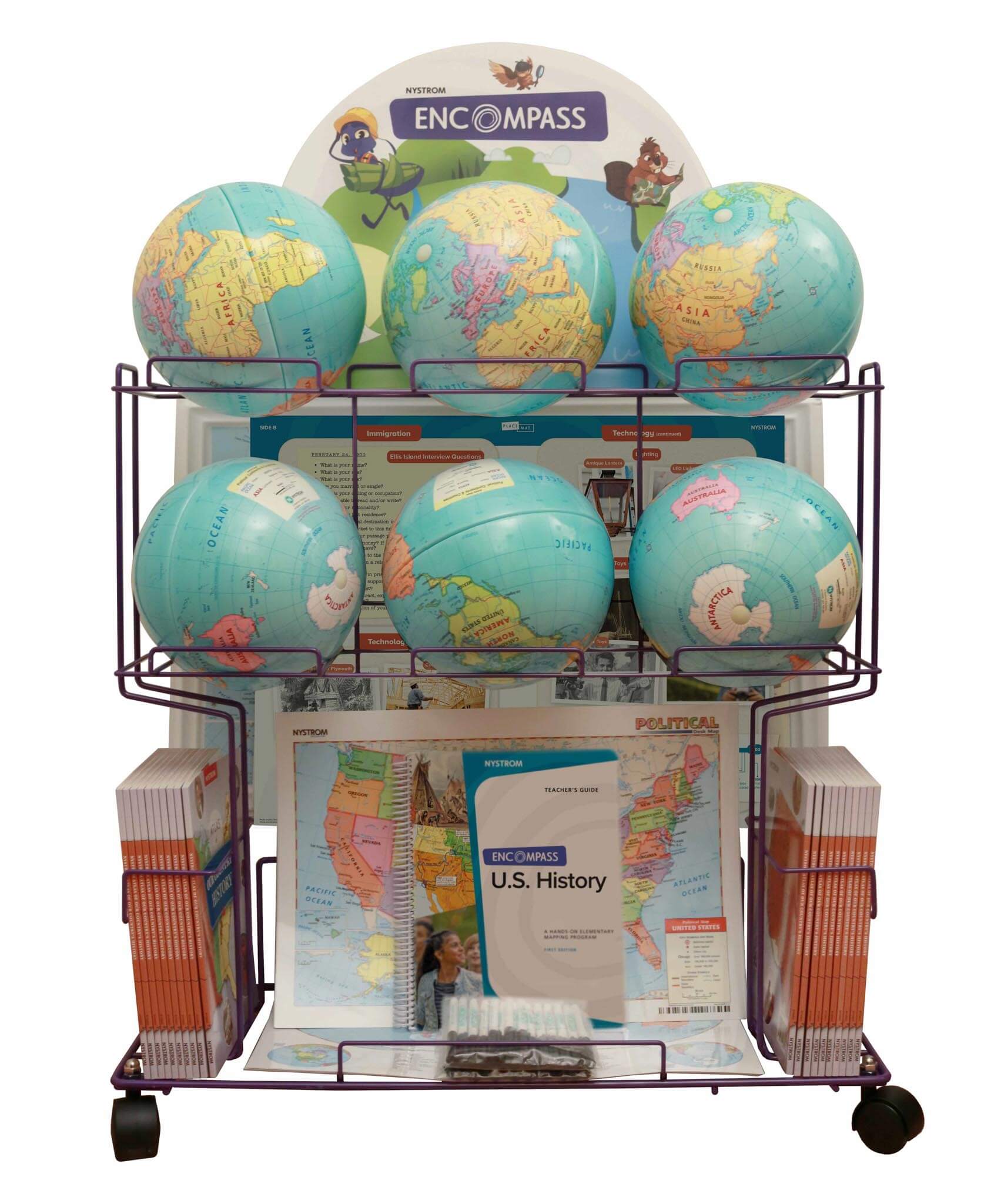
ENCOMPASS: U.S. HISTORY, GR 5
$1,295.00 Add to cart -

ENCOMPASS: U.S. HISTORY, GR 5, SPANISH
$1,295.00 Add to cart