MAPS FOR AMERICAN HISTORY
DownloadConnect with a representative to create a custom curriculum for your district.
Outline maps focus on various topics in U.S. history.
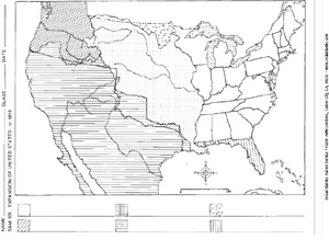
Part I covers exploring the New World, colonial settlements in North America, westward expansion and migration, the expansion of slavery, and the Missouri Compromise of 1850. Part II covers U.S. in 1860, secession and the Civil War, statehood in the New West, spanning the continent, territorial expansion, U.S. and Central America, and Alaska and Hawaii. While the subject maps are primarily informational handouts, the activity maps challenge student’s knowledge by leaving key pieces of information blank.
This title is part of the series: MAPS FOR AMERICAN HISTORY
| Size | 8½" x 11" |
|---|---|
| Publisher | Educational Masterprints |
| Grade | 5–12 |
| Extension | |
| File Size | 500 K |

