THE NYSTROM ATLAS OF CANADA AND THE WORLD
Presenting sophisticated content in clear, understandable formats, this full-color atlas provides extensive coverage of Canada and the world. Three shaded-relief reference maps (political, land cover, and elevation) begin sections on the world, its continents, and three detailed regions of North America: Canada, the United States, and Central America. Within each section are thematic maps (climate, precipitation, land use, population, energy resources, and region-specific issues) alongside graphs, tables, text, and photos for each region. The associated student activities provide reproducible handouts that promote critical thinking skills while reviewing basic map skills and deepening knowledge of Canadian and world geography. Additional atlas features: tables of world and country facts, a glossary, and two indexes (of places and themes).
This title is part of the series: THE NYSTROM ATLAS OF CANADA AND THE WORLD
| Copyright | 2019 |
|---|---|
| Size | 21.6 x 28 cm |
| Publisher | Nystrom |
| Pages | 176 |
| Edition | Fourth Edition |
| Grade | 5–12 |
| ISBN | 9780782527605 |
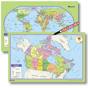
 Sample pages from the atlas
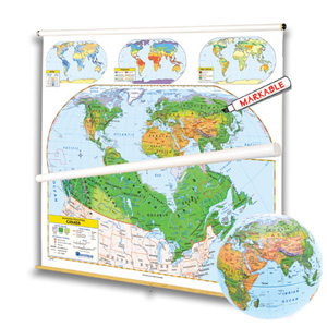