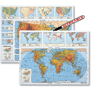
SCULPTURAL RELIEF WORLD DESK MAP
Select your Materials
Built for World Travelers in Training
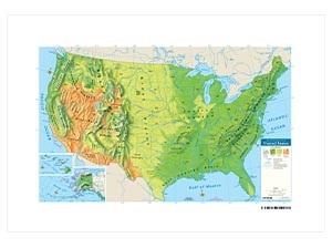
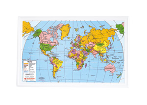
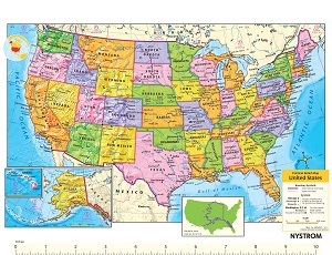
The Sculptural Relief World Desk Map makes global geography a hands-on experience. One side shows every country labeled in vivid detail. The other? A blank canvas ready for review, recall, and student discovery. Elevation is expressed through color and sculptural shaded relief, giving students a clear visual of the world’s mountains, basins, and everything in between.
Subtle country borders keep the focus on physical geography, while key features like capital cities, rivers, lakes, and lines of latitude and longitude help students build essential spatial skills. Insets offer additional context—from climate and land use to population and time zones—making this map more than just a pretty face.
Printed on durable, laminated stock and markable with wet-erase markers, it’s built for daily use and all kinds of classroom activities. Available individually or in sets of 5, 30, or 100.
Key Features:
| Size | |
|---|---|
| Publisher | Nystrom |