


SCULPTURAL RELIEF CLASS PACK
Select your Materials
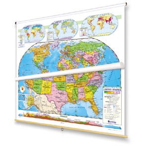
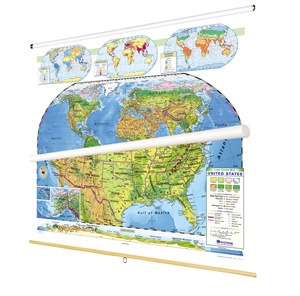
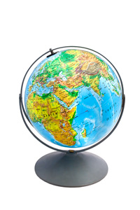
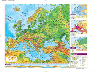
Melding elevation information with detailed shaded relief and political boundary lines, the pack equips students to understand physical geography and its political implications. Also shown: longitude and latitude, capital and major cities (with populations indicated by both type size and symbol size), and various types of landforms and water features. The maps add further dimensions with thematic insets showing, for the world, annual rainfall, population, and energy resources, and for the U.S., annual rainfall, population, agriculture, growing seasons, and a cross-section elevation profile. Both maps measure 54"h x 65"w, and come mounted on one heavy-duty metal spring-roller with a backboard designed for hanging from a map rack or a map rail, and the 16" 3-D raised-relief globe comes in a Gyro-disc mount.
See also:
| Publisher | Nystrom |
|---|---|
| ISBN | 9780782529210 |
Related products
-
POLITICAL RELIEF WORLD AND U.S. MAP SET
$335.00 Add to cart -
NYSTROM U.S./WORLD LAND COVER MAPS
$335.00 Add to cart -
LAND COVER CLASS PACK
$515.00 Add to cart -

POLITICAL RELIEF CLASS PACK
$515.00 Add to cart -
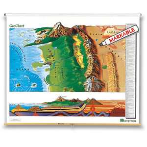
GEOCHART
$210.00 Add to cart -
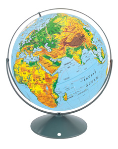
16″ SCULPTURAL RAISED-RELIEF GLOBE
$225.00 Add to cart -
12″ SCULPTURAL RAISED-RELIEF GLOBE
$169.00 Add to cart -
SCULPTURAL RELIEF DESK MAP OF EUROPE AND ASIA
$39.95 Add to cart