LAND COVER CLASS PACK
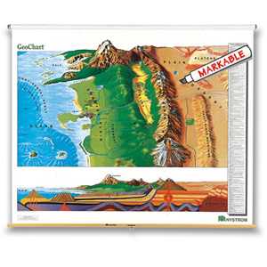
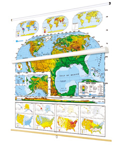
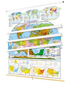
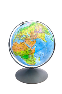
Naturalistic colors mark eight kinds of land cover: cropland, grassland, desert and semi-desert, tundra, glacier, broadleaf forests, needleleaf forests, and tropical rainforests. Thematic insets show rainfall, population, and growing seasons, and the U.S. map includes a cross-sectional elevation profile. Boundary lines mark out labeled states or countries, capital and major cities are shown (with populations indicated by type size and symbol size), shaded relief indicates the locations of terrestrial and subsea mountain ranges, and latitude and longitude are delineated. Both maps measure 54″h x 65″w and come mounted on one heavy-duty metal spring-roller with a backboard designed for hanging from a map rack or a one-inch map rail (not included). The maps are also available separately. The 16″ 3-D raised-relief globe in the pack comes in a Gyro-disc mount; other mountings and a 12″ size are also available.
Additional sets available:
- LAND COVER CONTINENTS AND REGIONS. To help students understand how humans are situated in the natural world, these maps show the world’s croplands and natural landscapes.
- WORLD AND U.S. DUAL MAP TEACHING SET. Four land cover maps, two labeled and two unlabeled, equip classrooms for student activities.
- LAND COVER AND POLITICAL RELIEF DUAL MAP SET. Help students understand relationships between the natural world and its political divisions by comparing and contrasting pairs of U.S. and world maps from these two series.
This title is part of the series: LAND COVER CLASS PACK
| Publisher | Nystrom |
|---|---|
| ISBN | 9780782541748 |